San Rafael lies on the dry plains of southern Mendoza, roughly 230 kilometers south of the city of Mendoza, with vineyards and irrigation channels set against the foothills. Elevations are moderate across the valley floor and rise toward the canyons and reservoirs. Summers are hot and dry, while spring and autumn are the most comfortable months to travel.
Primary corridors
Canyon, reservoir, and vineyard districts
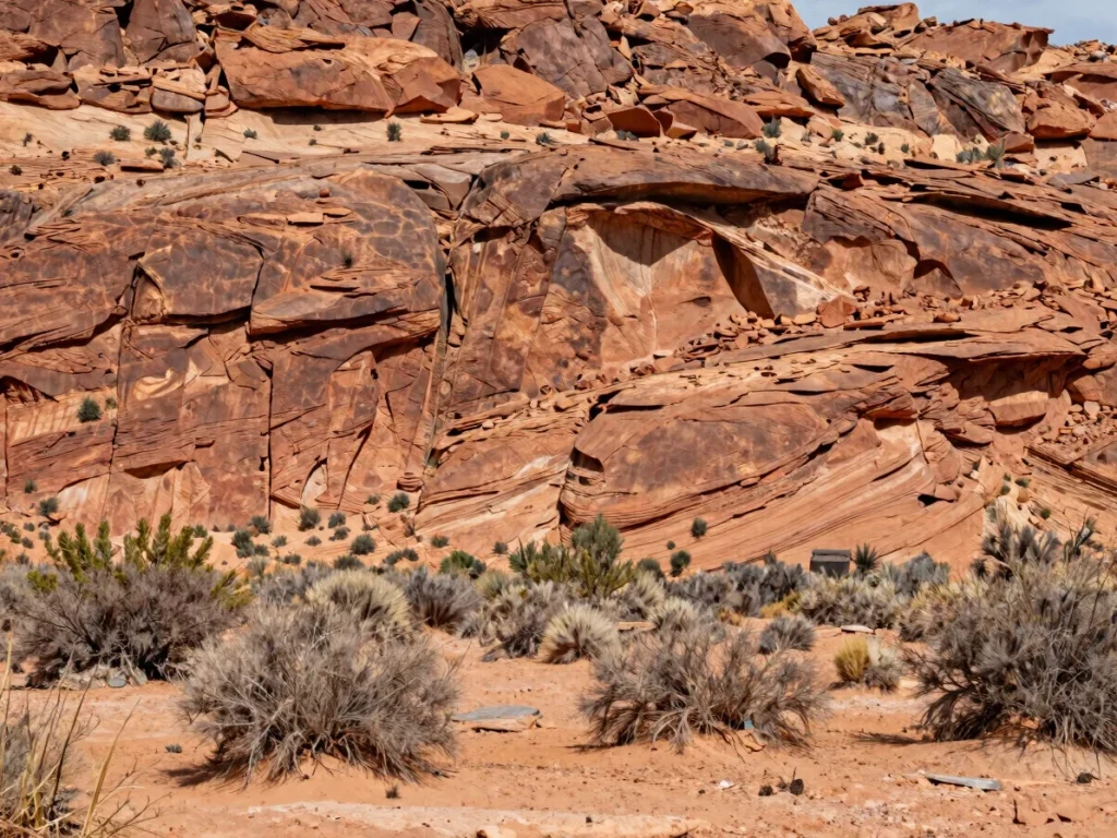
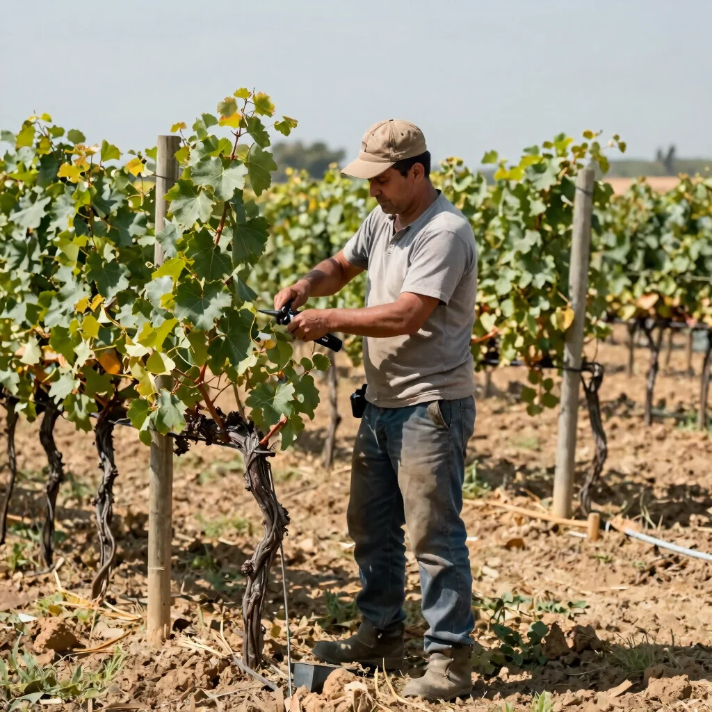
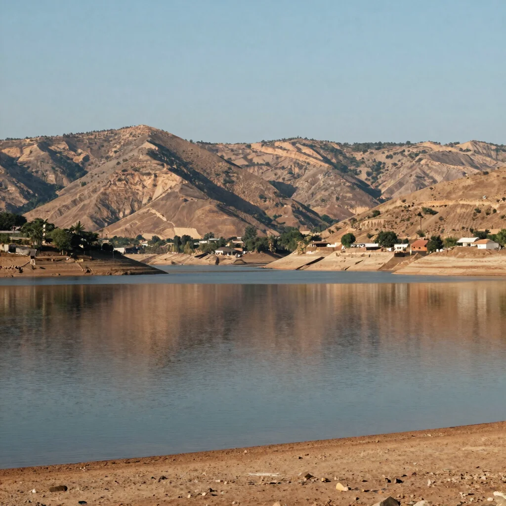
The Atuel Canyon offers sculpted rock walls and a dry, open landscape. Valle Grande's reservoir waters sit against arid hills, and the historic estate vineyards of the surrounding districts run in irrigated rows along the valley floor. Each corridor has different terrain and driving time, so plan them around your days in the area.
Driving context
Plan distances by road, not by map
Routes across southern Mendoza are long and often run through open country with limited services. Allow more time than the straight-line distance suggests, and confirm current road conditions before heading out to the canyon or the reservoir.
Documentary view
Working bodegas, mountain roads, and town life
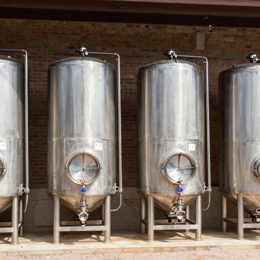
A visual record of San Rafael as it is used day to day: the bodegas and vineyard work, the roads that connect the districts, and the streets and buildings of the town.